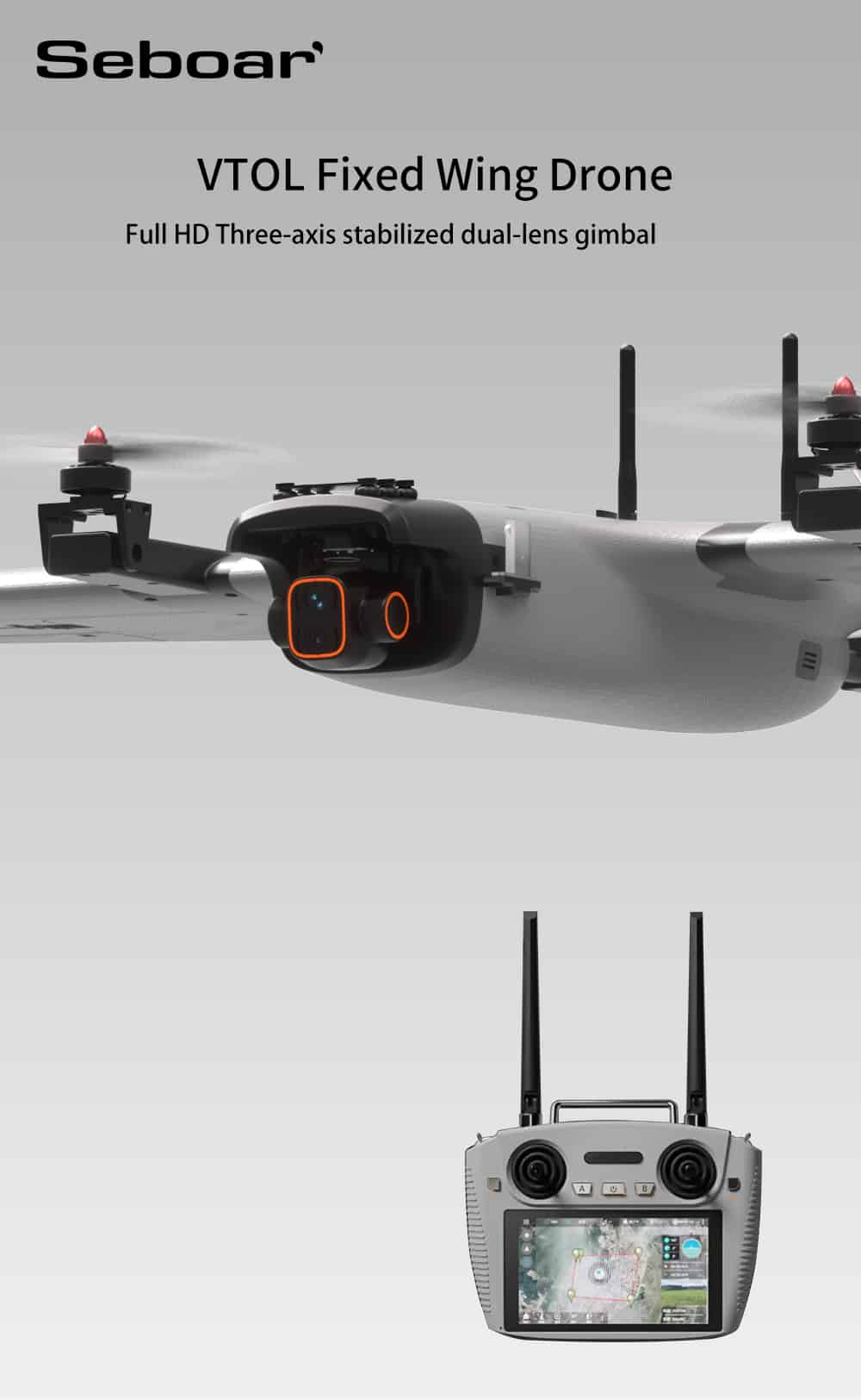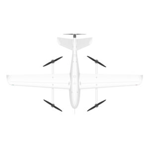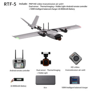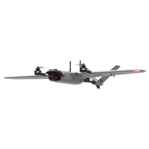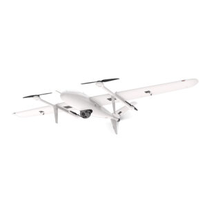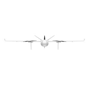
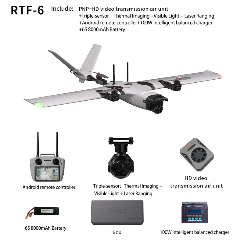
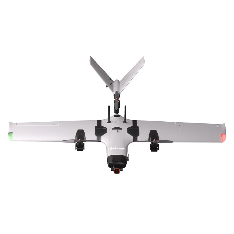
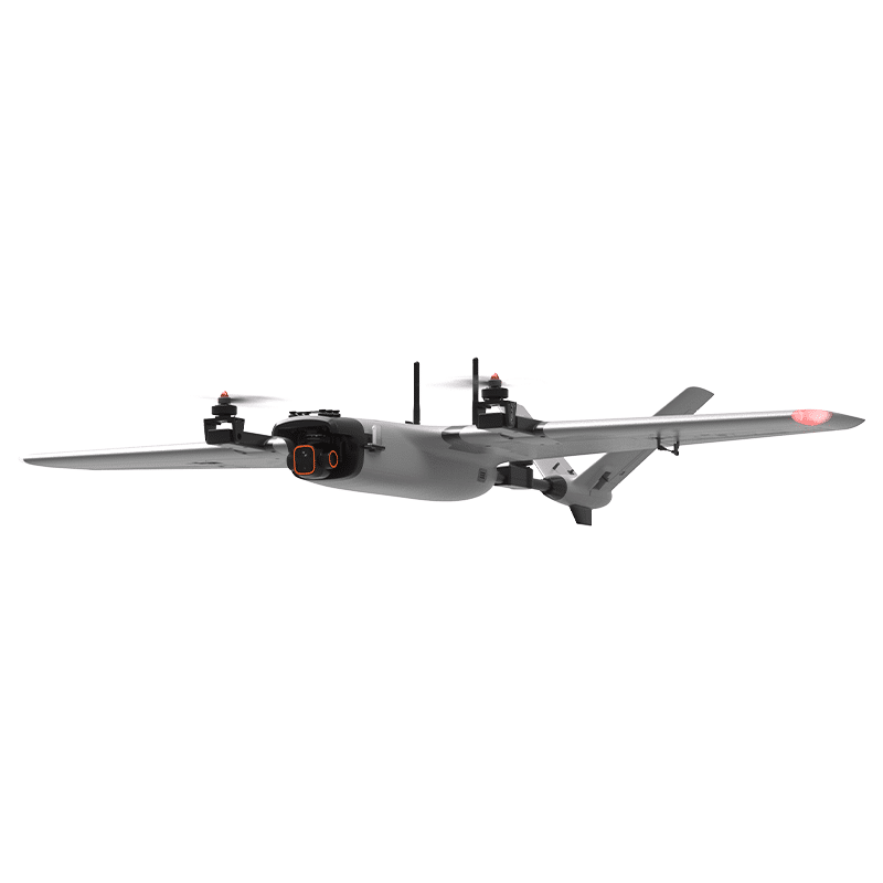
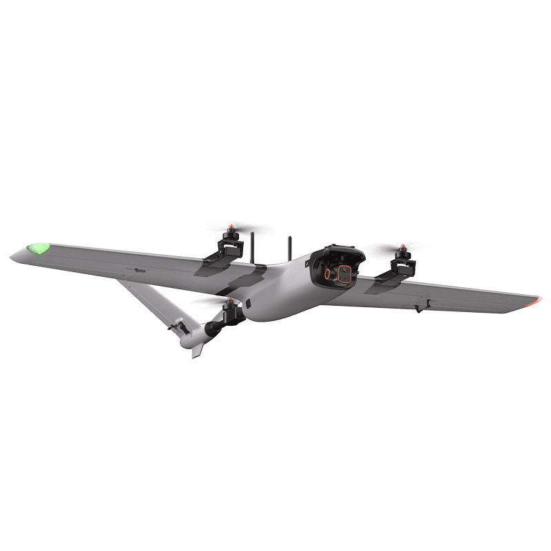
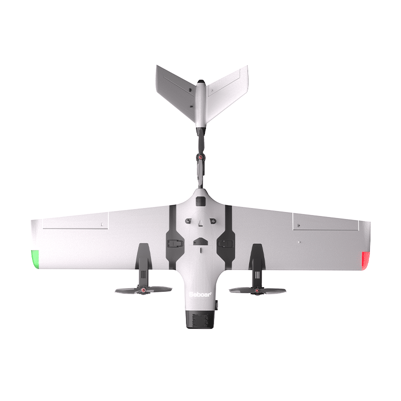
Seboar VTOL Fixed Wing Drone
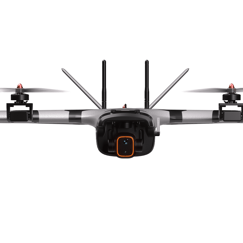
Full HD Three-Axis Stabilized Multi-Sensor Gimbal
A professional VTOL UAV fixed wing platform designed for long-range aerial surveillance, inspection, and security monitoring missions.
The system integrates visible light imaging, thermal imaging, laser ranging, intelligent tracking, and long-distance digital transmission to provide reliable aerial observation capabilities.
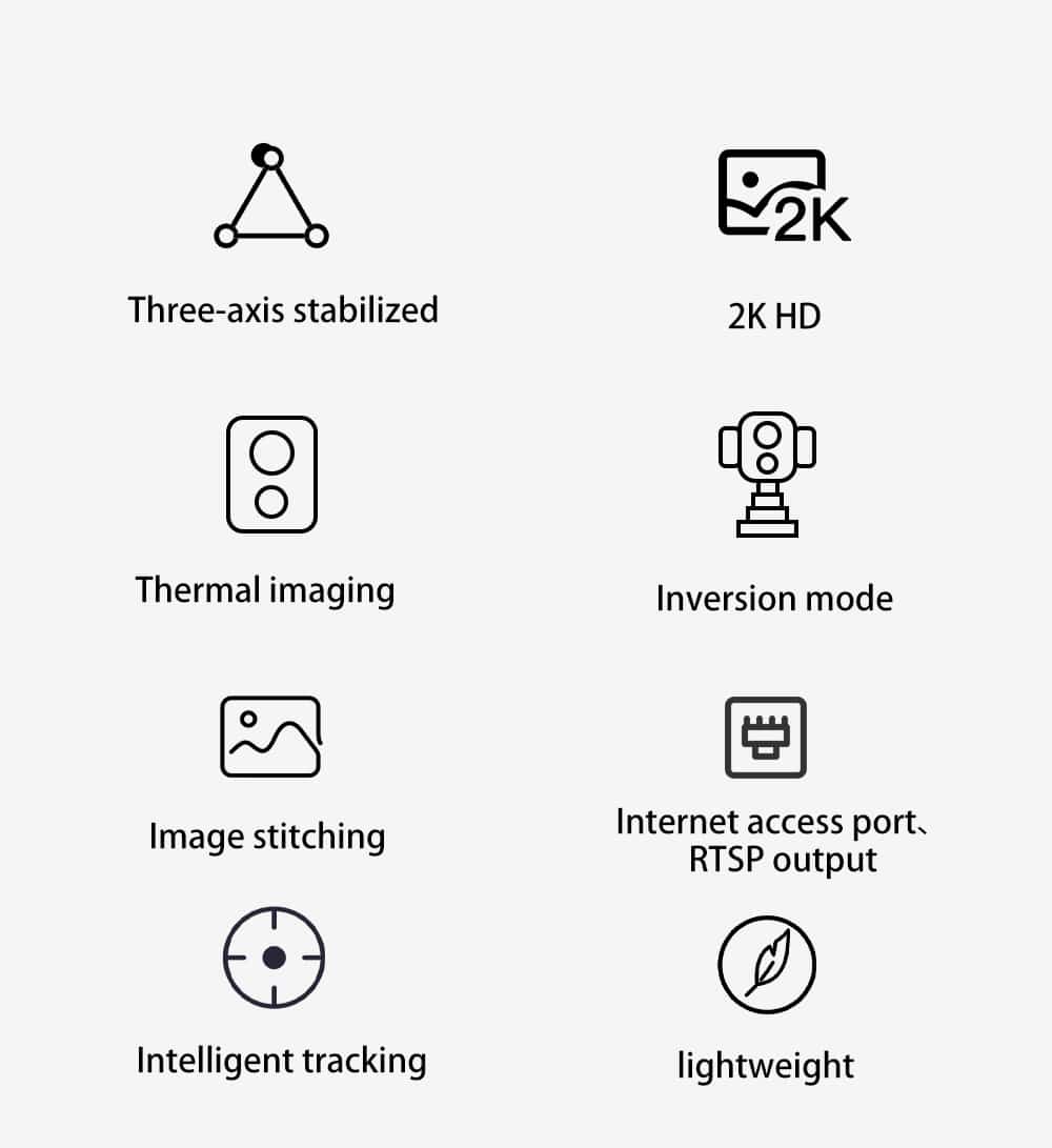
Core Features
Three-axis stabilized gimbal
2K HD visible camera
Thermal imaging detection
Laser ranging module
Image stitching capability
RTSP network video output
Intelligent target tracking
Lightweight airframe design
Three-Sensor Camera System
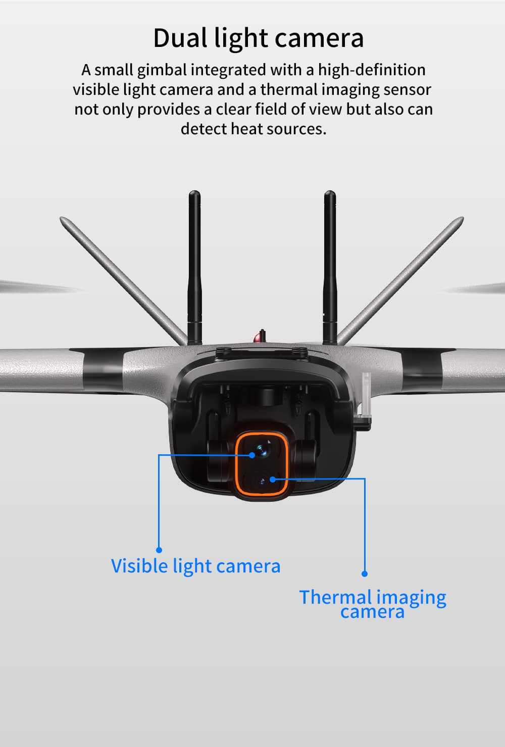
The aircraft is equipped with a three-axis stabilized multi-sensor gimbal integrating:
Visible light camera
Thermal imaging sensor
Laser ranging module
This system provides high-definition visual monitoring, thermal detection, and distance measurement, enabling more precise target identification and observation.
2K HD Visible Light Camera
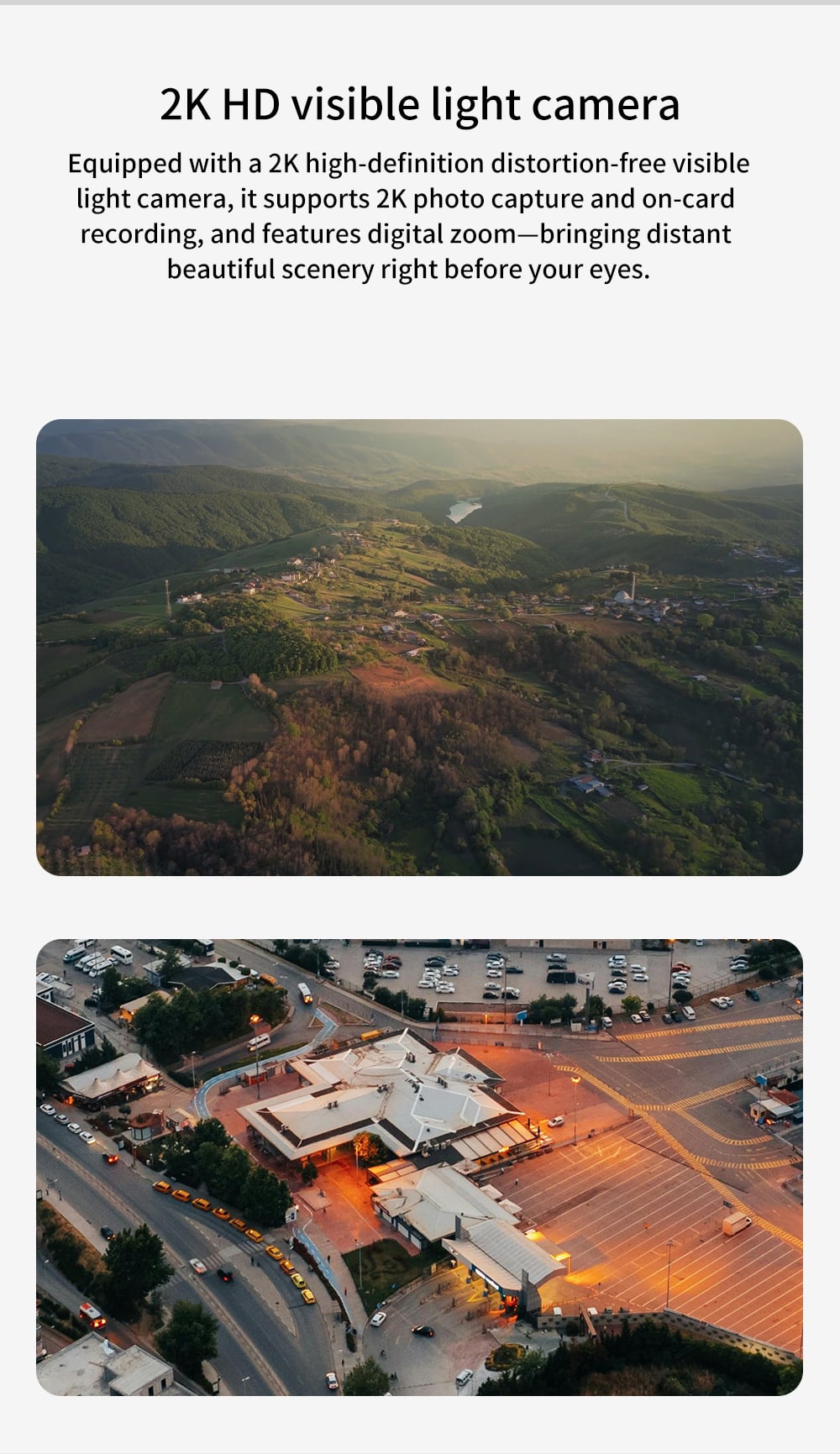
The drone features a 2K high-definition distortion-free visible light camera.
Capabilities include:
2K image capture
Onboard video recording
Digital zoom support
It provides clear aerial imagery and detailed observation of distant targets.
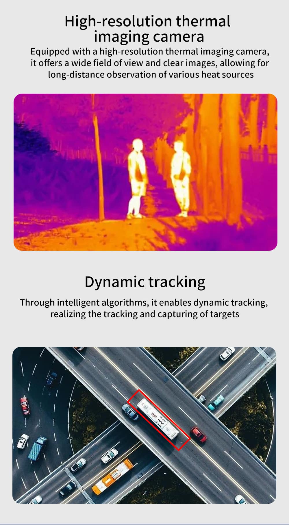
High-Resolution Thermal Imaging Camera
The thermal imaging camera provides:
High-resolution thermal detection
Wide field of view
Clear thermal imaging results
It enables long-distance observation of heat sources, making it suitable for night surveillance, search and rescue, and industrial inspection.
Dynamic Target Tracking
Using intelligent algorithms, the drone supports dynamic tracking of moving targets.
The system can automatically track selected objects and keep them centered in the camera frame.
Laser Ranging System
The integrated laser ranging module provides accurate distance measurement to targets.
This improves situational awareness and enhances mission efficiency in surveillance and monitoring operations.
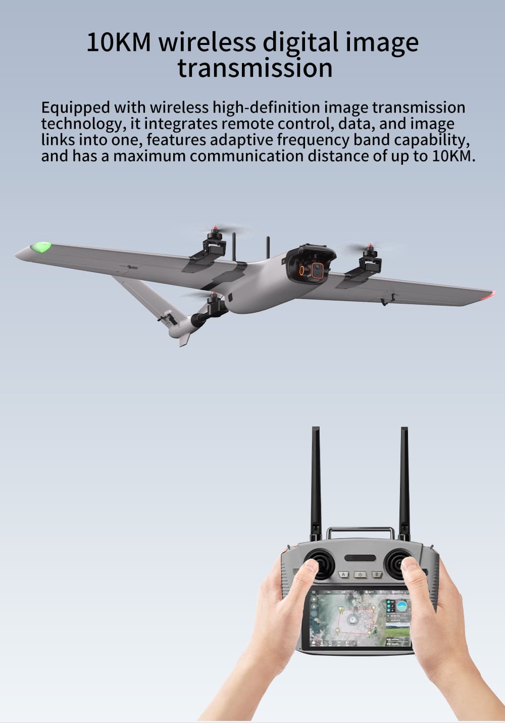
10KM Wireless Digital Image Transmission
The aircraft is equipped with wireless digital image transmission technology.
Key features include:
Integrated control and video transmission
Adaptive frequency band capability
Stable high-definition image transmission
Maximum communication distance up to 10KM.
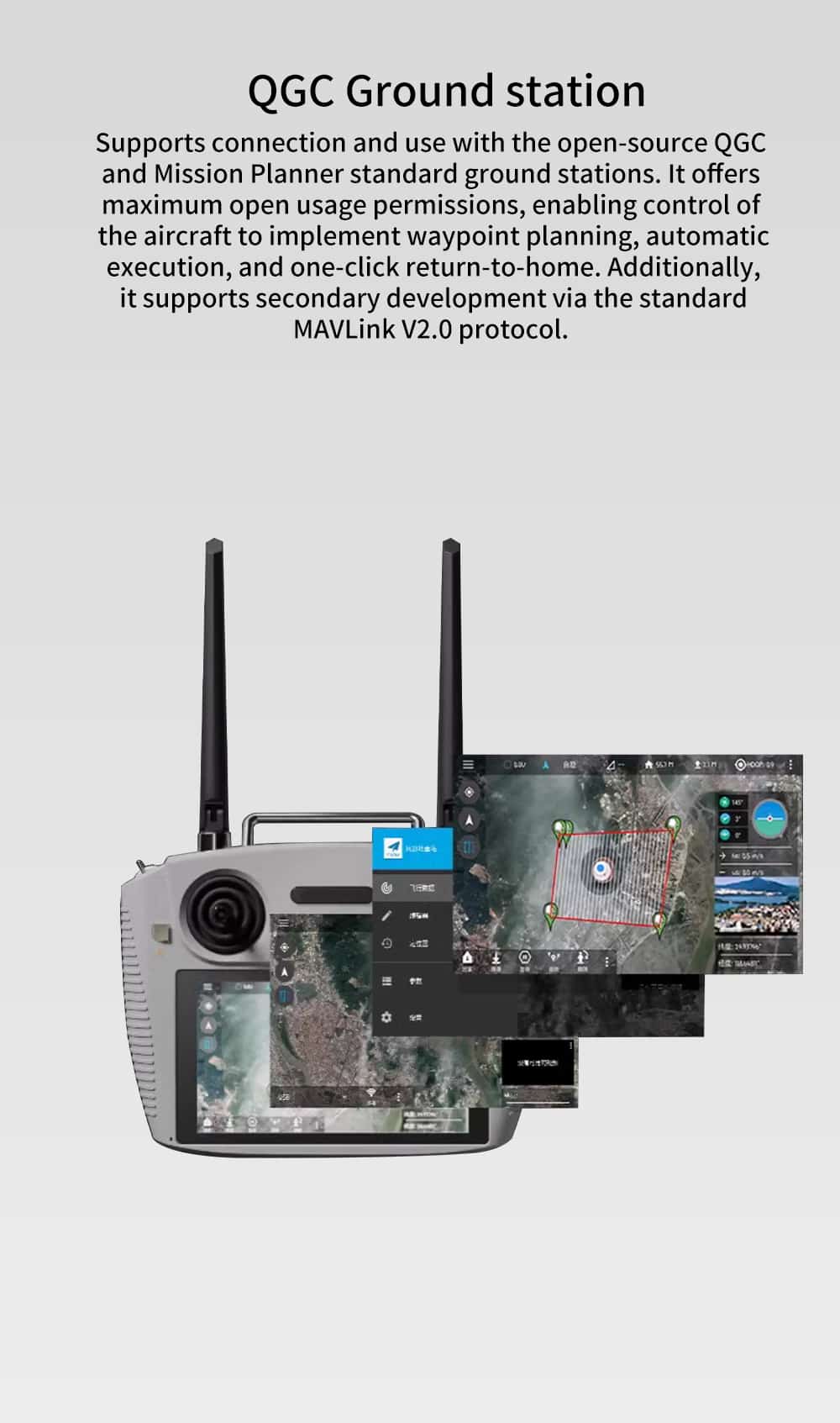
QGC Ground Control Station
The drone supports QGroundControl (QGC) and Mission Planner ground station software.
Functions include:
Waypoint mission planning
Automatic mission execution
One-click return-to-home
Autonomous route flight
The system also supports secondary development via MAVLink V2.0 protocol.
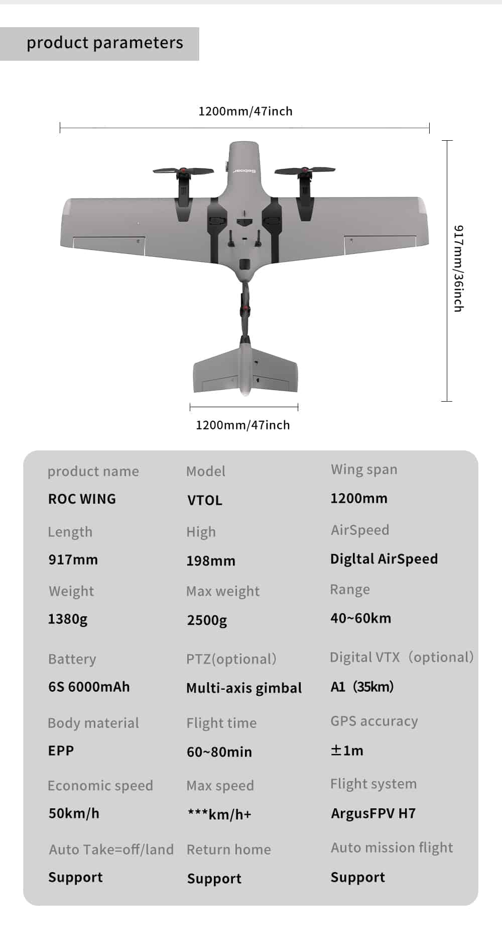
Aircraft Dimensions
| Parameter | Specification |
| Wingspan | 1200 mm / 47 inch |
| Length | 917 mm / 36 inch |
| Height | 198 mm |
Aircraft Specifications
| Parameter | Specification |
| Product Name | ROC WING |
| Model | VTOL |
| Wingspan | 1200 mm |
| Length | 917 mm |
| Height | 198 mm |
| Weight | 1380 g |
| Maximum Takeoff Weight | 2500 g |
| Range | 40–60 km |
| Battery | 6S 6000 mAh |
| Body Material | EPP |
| Flight Time | 60–80 min |
| GPS Accuracy | ±1 m |
| Economic Speed | 50 km/h |
| Maximum Speed | *** km/h+ |
| Airspeed Sensor | Digital AirSpeed |
| PTZ (Optional) | Multi-axis gimbal |
| Digital VTX (Optional) | A1 (35 km) |
| Flight System | ArgusFPV H7 |
| Auto Takeoff / Landing | Support |
| Return to Home | Support |
| Auto Mission Flight | Support |
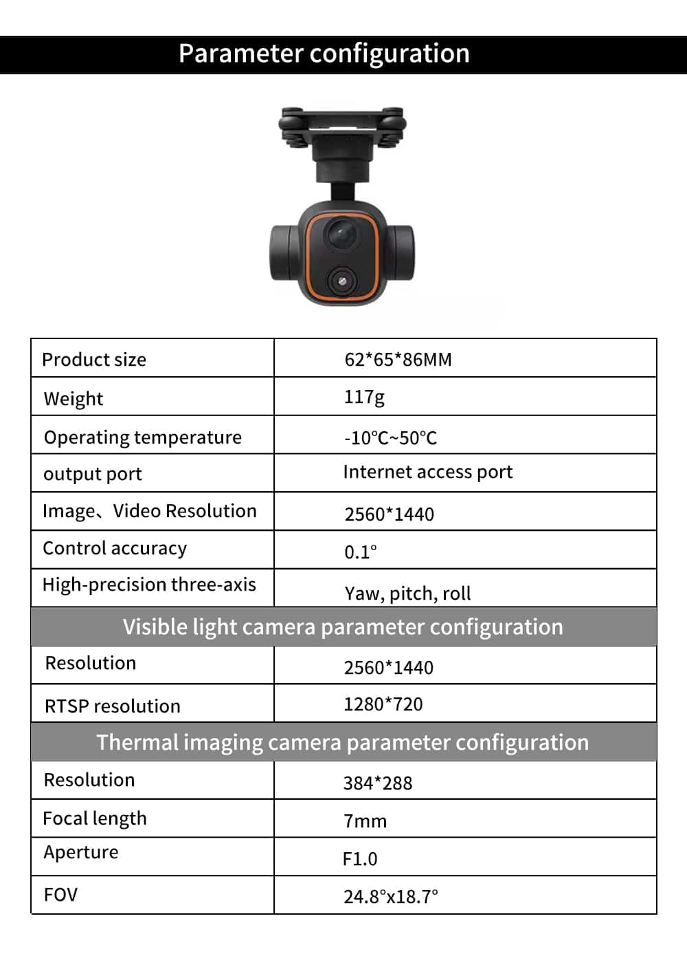
Multi-Sensor Gimbal Parameters
General Parameters
| Parameter | Specification |
| Product Size | 62 × 65 × 86 mm |
| Weight | 117 g |
| Operating Temperature | −10°C ~ 50°C |
| Output Port | Internet access port |
| Image / Video Resolution | 2560 × 1440 |
| Control Accuracy | 0.1° |
| Stabilization | Three-axis (Yaw / Pitch / Roll) |
Visible Light Camera Parameters
| Parameter | Specification |
| Resolution | 2560 × 1440 |
| RTSP Resolution | 1280 × 720 |
Thermal Imaging Camera Parameters
| Parameter | Specification |
| Resolution | 384 × 288 |
| Focal Length | 7 mm |
| Aperture | F1.0 |
| Field of View | 24.8° × 18.7° |