
Autonomous cargo drones need an operating concept that connects navigation with information about surrounding traffic. A planned route describes where an aircraft is intended to go; the traffic interface describes what information supports decisions along that route. The FAA’s 2025 BVLOS proposal and GAO’s later technical review provide a useful basis for separating those engineering questions.
The 2025 BVLOS proposal placed navigation inside a wider system
The FAA’s August 6, 2025 announcement described a proposed framework covering operations, aircraft manufacturing, separation from other aircraft, operational authorization, security and records. That was a proposal with a broader scope than an onboard route-following function. Preserve that date and status when using the announcement to explain the development of BVLOS operations.
Readers following civil drone operations and regulatory developments can use this historical distinction when reviewing a delivery concept. Aircraft behavior, information services and operating responsibilities occupy different parts of the system. A demonstration of one part supplies evidence about that part, within the conditions of the demonstration.
For example, an aircraft following a series of waypoints demonstrates a navigation sequence. Describing how it receives information about another aircraft requires a separate information path. Describing who decides what to do with that information adds a responsible role. Keeping these elements visible makes the operating concept more specific than a general description of autonomous flight.
GAO’s review separates traffic observations from two-way communication
GAO published its traffic-awareness and communication review on February 4, 2026. The study focused on small drones weighing less than 55 pounds, which limits direct transfer of its findings to a heavier cargo aircraft. Its discussion nevertheless helps define different information functions before selecting an installation.
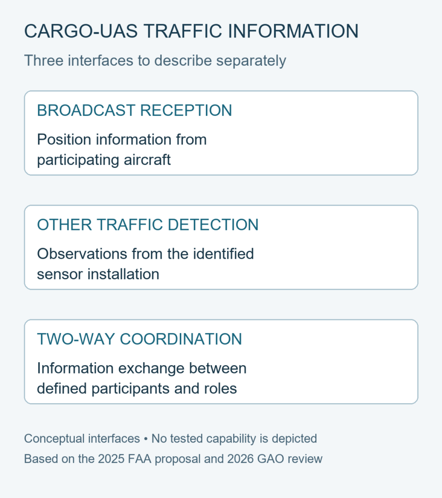
The GAO report on drone communication and aircraft avoidance describes ADS-B reception as a way to obtain positions from aircraft transmitting that information. It also discusses cameras, acoustic sensors and ground radar for other traffic detection. Two-way communication introduces a different relationship: information can pass between participants, rather than being received or observed in one direction.
- Broadcast reception — information from participating aircraft: identify the messages the intended receiver can use and the role they serve in the operating concept. The information begins with a transmitting aircraft. Its absence leaves a question about the available traffic picture, rather than establishing that the surrounding area is empty.
- Other traffic detection — observations from an identified sensing arrangement: describe the sensor location, its observation area and the conditions under which its output is useful. Different installations can produce different information boundaries. A sensor category alone leaves the actual installation and decision pathway unspecified.
- Two-way coordination — an exchange with defined participants: identify who sends information, who receives it and which decisions depend on the exchange. This describes an interface between roles or systems. It also makes the responsibility for responding to an unavailable exchange a concrete design question.
These three descriptions compare information functions, rather than rank technologies. A delivery project may need several functions, with different evidence for each. The engineering task is to show how the selected functions connect to the decisions required by the proposed mission.
Carry the information paths into the cargo operating concept
Start with a mission decision and work back to its information source. A navigation decision may use the planned route and aircraft position. A traffic-related decision needs the relevant traffic information and an identified decision owner. An exchange with another participant adds the corresponding sending and receiving responsibilities.
Draw those relationships beside the proposed route description. Mark the input used by each decision, the role responsible for acting and the handover when information becomes unavailable. This keeps the interface discussion tied to a civil cargo mission without assigning undocumented capabilities to a particular aircraft.
The historical proposal establishes the breadth of the original regulatory discussion; the later GAO review supplies a technical distinction between information functions. Neither source establishes a specific project’s current operating permission. Carry the route description, information boundaries and responsible roles together into the next engineering review, so that an unresolved interface remains an explicit part of the design work.